Skip to main content Skip to footer

Maps

Discover the Township of Ramara like never before with our collection of interactive maps. Whether you're a resident, visitor, or simply curious about our community, these maps offer a detailed look at everything from local parks and trails to zoning, and more.

Explore Ramara's Interactive Mapping

How To Use Ramara's Interactive Mapping

Once you have opened the map, you can pan to the subject property or search for the address in the search bar at the top of the map next to the Ramara logo.

Use the "Advanced" panel on the left side of the page to turn on layers, use tools such as measuring, and mark up your map using "My Maps."

  • Select the checkbox of the layer you would like to see.
  • Use the "Filter Content" bar to search for keywords for layers.
  • Hover over a layer to view the description.
  • Interactive layers allow you to click the feature on the map to view more information in a pop-up. These layers are identified with a conversation box after the title.
  • Click the + button to the left of the layer name to view the colour scheme.
  • Change your base map on the top right choosing Imagery, Topo or Street.
  • Use the printer monitor button at the bottom left of the map to print your screen.

Note: For some interactive layers (for example, Zoning Bylaw and Links) if you have searched a property, you must click the red dot and "remove marker" for the interactive layer to work.

Discover Ramara's Natural Playground

Whether you're craving sun-soaked shores, peaceful forest trails, or a leisurely afternoon on the water, Ramara offers endless ways to unwind and enjoy the outdoors. The Tourism and Recreation Maps make it easy to plan your perfect day in nature.

Use our interactive maps to find your next adventure, plan your route, and uncover hidden gems across the region. Ramara is ready when you are — just bring your sense of wonder.

Uncover More Possibilities with Other Interactive Mapping Tools

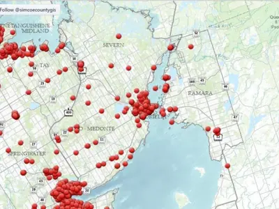
Beyond Ramara's local recreation maps, visitors and residents can access a wide range of interactive mapping tools to dive deeper into the region. Discover land use and property details through the County of Simcoe, explore farming landscapes via the Agricultural Systems Portal, and find essential services with the Community Services Map.

For nature lovers and environmental stewards, the Lake Simcoe Region Conservation Authority Mapping offers insights into water shed features and conservation areas. Plus, the Agricultural Mapping showcases the richness of Ramara's rural roots and farming communities.

Sign up for our eNewsletter

Stay up to date on the Township's activities, events, programs and operations by subscribing to have notifications sent directly to your inbox. 

This website uses cookies to enhance usability and provide you with a more personal experience. By using this website, you agree to our use of cookies as explained in our Privacy Policy.