


The Township of Ramara has a number of maps to help you learn about the different features in our community. Have an idea of something you would like to see mapped out? Contact us!
Ramara Interactive Maps
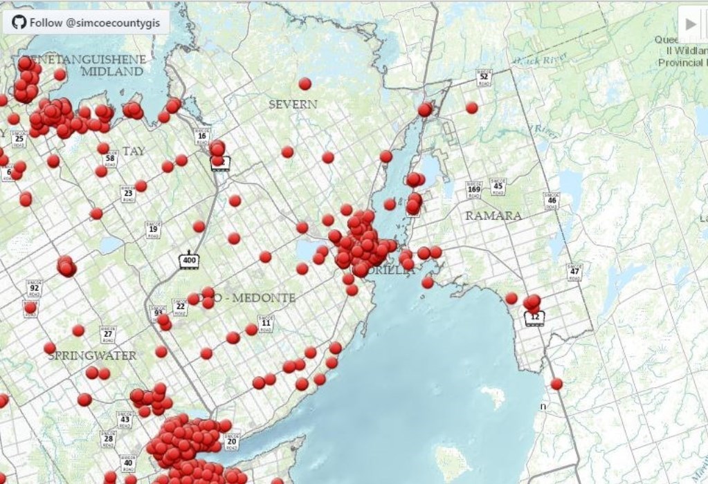
The Township of Ramara's Interactive Mapping with the County has over 75 different layers that provides information to residents on the following:
- Zoning and Land Use Planning
- On-Site Sewage Reinspection Program
- Short Term Rental Accommodations
- Wards
- Trails
- Bylaws and more
Instructions
| Detailed Instructions |
|
Once you have opened the map, you can pan to the subject property or search for the address in the search bar at the top of the map next to the Ramara logo. Use the "Advanced" panel on the left side of the page to turn on layers, use tools such as measuring, and mark up your map using "My Maps".
Note: For some interactive layers (example: Zoning Bylaw and Links) if you have searched a property, you must click the red dot and "remove marker" for the interactive layer to work. |
Video
View Instruction Video
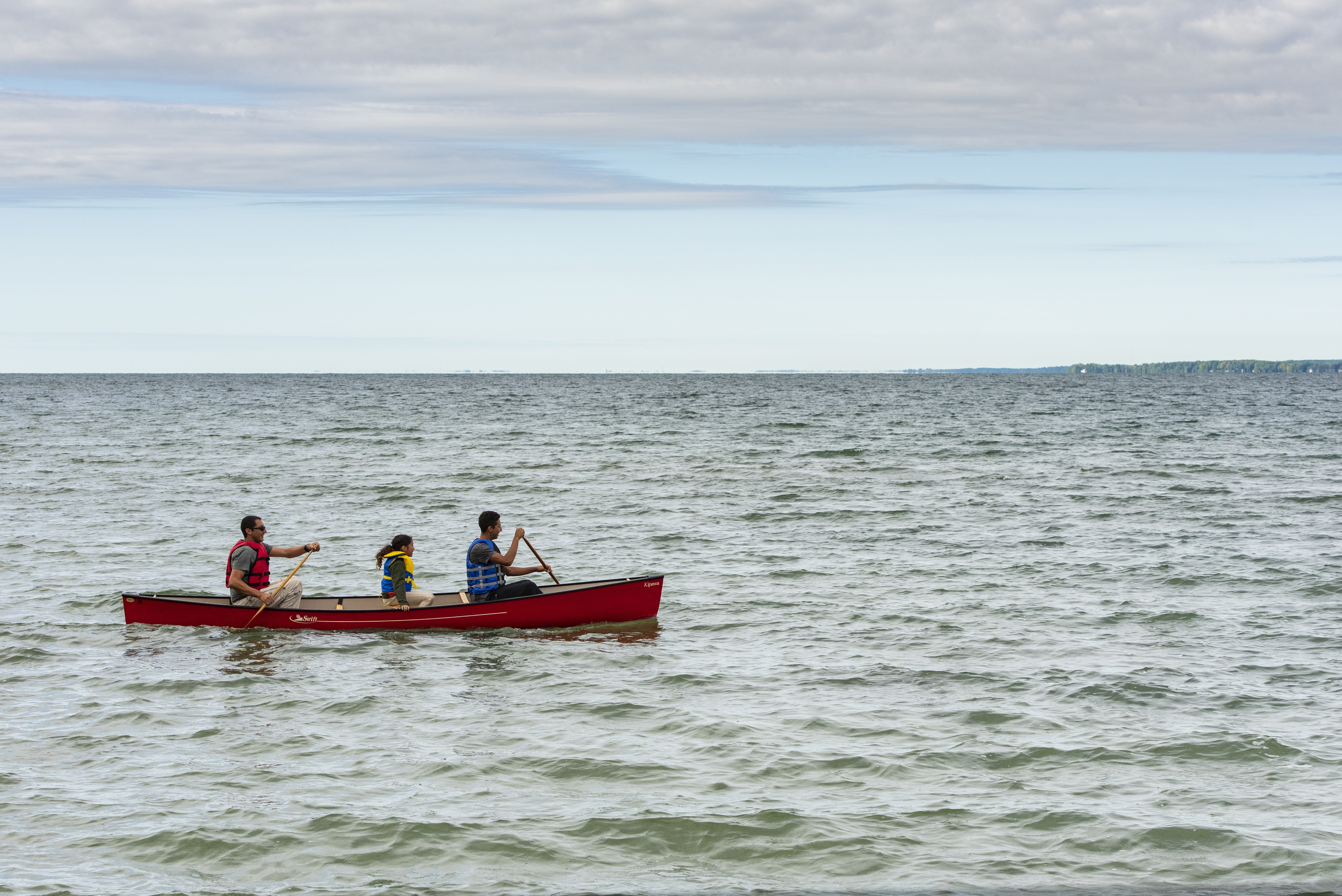
Tourism and Recreation Maps
Explore beaches, parks and other ways to enjoy the great outdoors!

Other Interactive Mapping

Contact Us
 Subscribe to this Page